Trailguide App 2020
 Bjørn Jarle Kvande, 28. May 2020
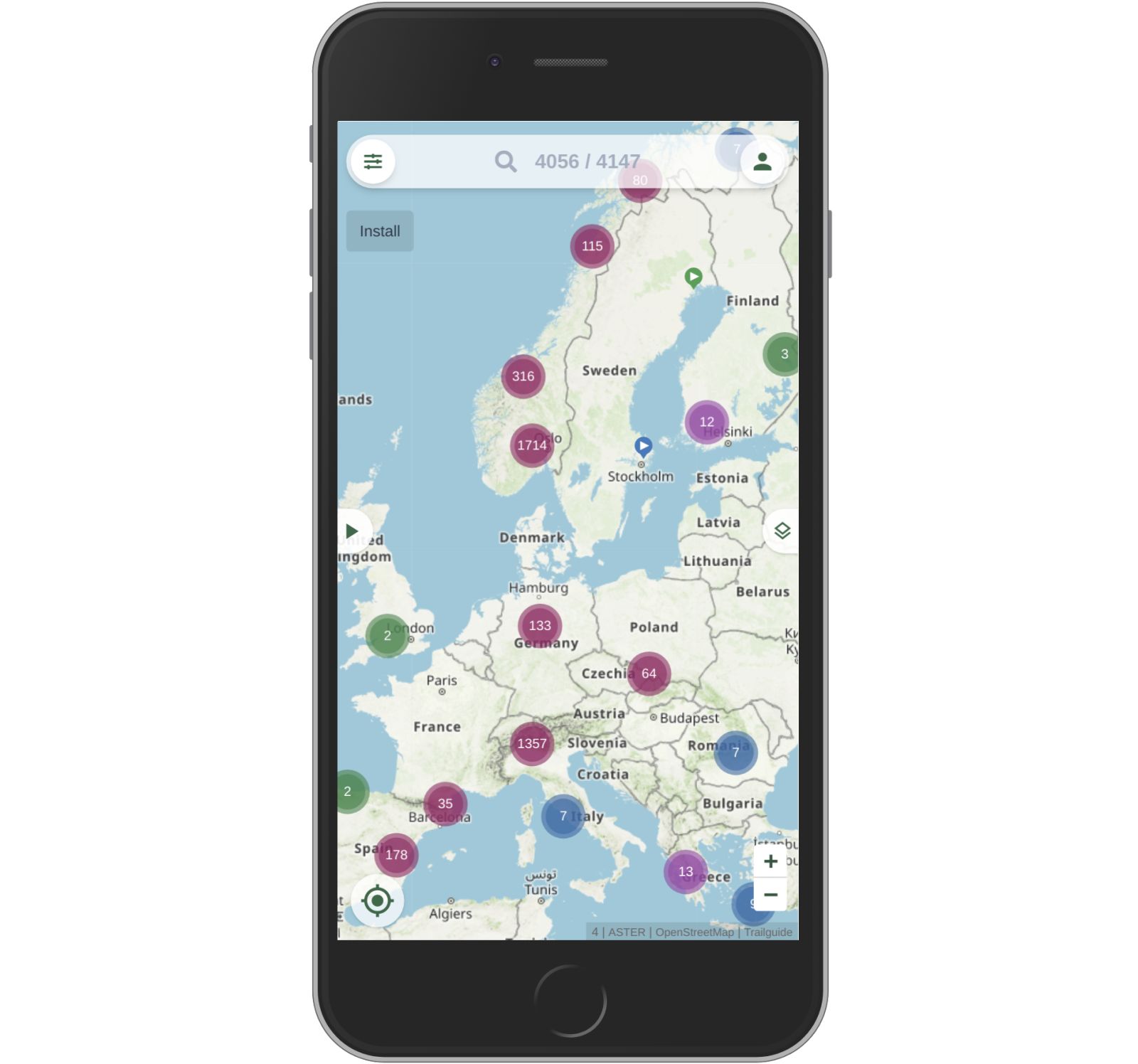
After a long winter of hard work in front of the computer, we are finally ready to publish Trailguide 2020! The app has a new look, improved usability, new functions, a new biking & outdoor specific topographical map, and super-useful map overlays. See below what's new:

Find and Share
That is the central purpose of Trailguide, and it just became a lot better and more enjoyable to explore the world of trails with trailguide.net!

Search and Filter
You immediately see that the main user interface is completely new, being search centered with a new filter and map selector. Start searching at anytime wherever you are in the app. Also at the top: The filter to the left, and the login/menu to the right. The functionality of the filter was extended. Filter for trails that are rated very good or where the conditions are perfect.

Easy Access to Trails
The button in the middle of the left screen edge opens the Trail list. See a list of the content visible on the current map section. Filter and search work here as well. The other tabs show the reviews and condition reports of the trails in this area.

Easy Access to Maps
The map & overlay selector is on the right side. Thumbnails that show a preview make it easy to choose the right map for your purpose. The main map is the Trailguide map, developed from scratch for biking and outdoor activities. More on that later!

Map Overlays
There are several new overlays that help you to find new trails all over the world, get important information and plan your tour. Adjust the transparency of every overlay by moving the eye left and right.

300.000 MTB Tracks
Find almost 300.000 rated MTB tracks all over the world! Based on OpenStreetMap data this overlay shows singletracks that are ridable with a MTB. Rated with the Single Trail Scale (S0-S5) for difficulty and color coded (green, blue, red, black) with the Trailguide rating system. Zoom in to see the MTB specific trail names and the difficulty rating.

Go & No go areas
The laws to access nature reserves or other protected areas are for sure different in every country. The overlay helps you to see if the tour you are planning is in a protected area (brown). Military zones are shown in red.

Where do others ride?
The Strava Heatmap is very helpful to see where bikers ride. Does a trail have traffic? Where is the next frequented uphill to access the trail? Even find trails that are not in the base map! Move the eye to the right to see what way type is underneath the heatmap.

Beautiful new Map
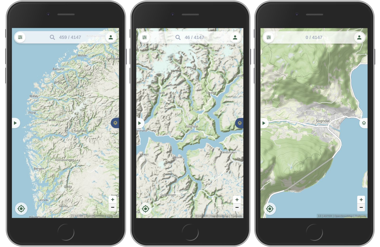
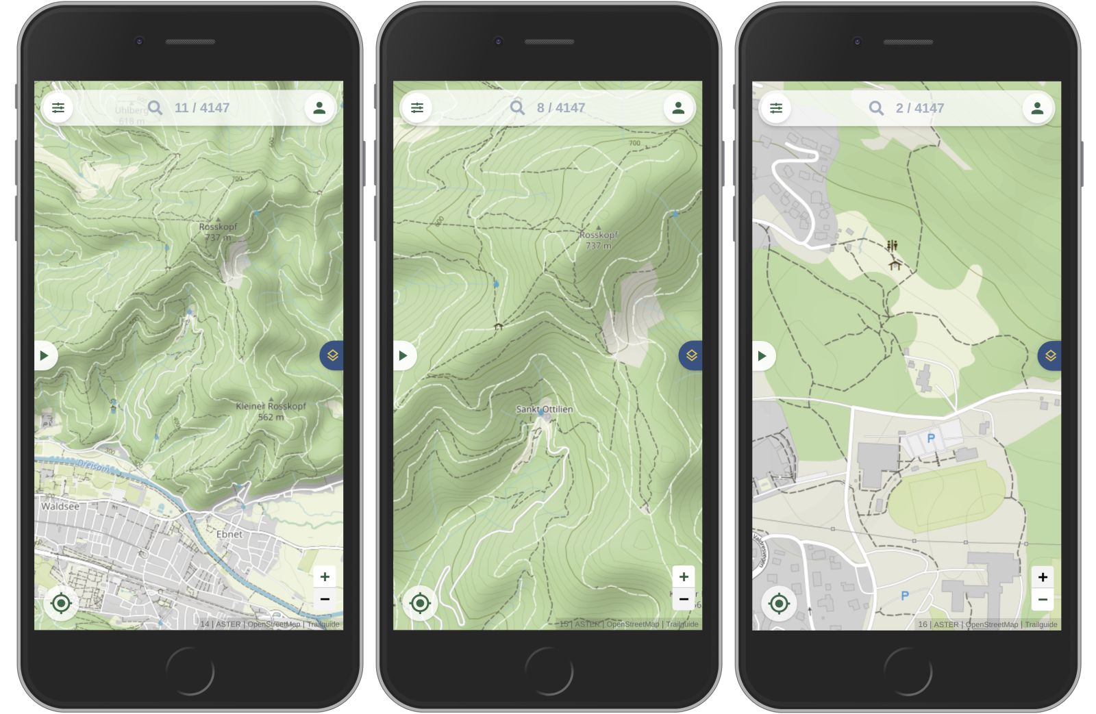
The new map is developed from scratch and optimized for mountain biking and other outdoor sports. The focus lays on the terrain and trails. Hillshadings and contour lines create a 3D effect and provide valuable information about the shape of the landscape. It is very easy to separate all kinds of narrow trails from wider gravel or paved roads.

Other important information to plan a tour are parkings, water sources, huts and shelters, peaks, viewpoints, toilets, ... and many more. Further zoomed in, you will see more and more details and names of the objects. Contour lines in 10m steps provide a good picture of the terrain. Stay tuned for another article with a deeper look into the style and the development process of this map.

Upload trails
Besides that, we made more improvements that you don't see at first sight. With the new trail editor it became very easy to upload and edit trails. Open trailguide.net on your desktop computer for this feature.
We hope you enjoy the new version of Trailguide. Use it to get out on your bike, have fun and to enjoy nature!