The Trailguide App
Trailguide is an app to share, find, and navigate outdoor activities crowd-sourced by outdoor enthusiasts.
The app offers maps, height profiles, navigation, tour descriptions, images, videos, reviews, and condition reports.
The web app is accessed through your web browser by going to trailguide.net and is installed by adding it to your home screen.
Read more about the maps, layers, list, content, navigation, searching, filtering, and user pages

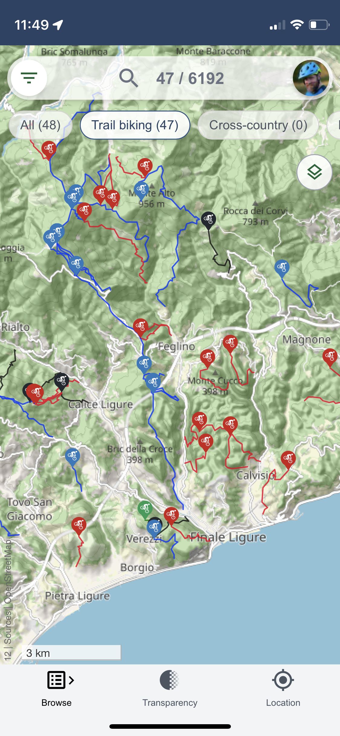
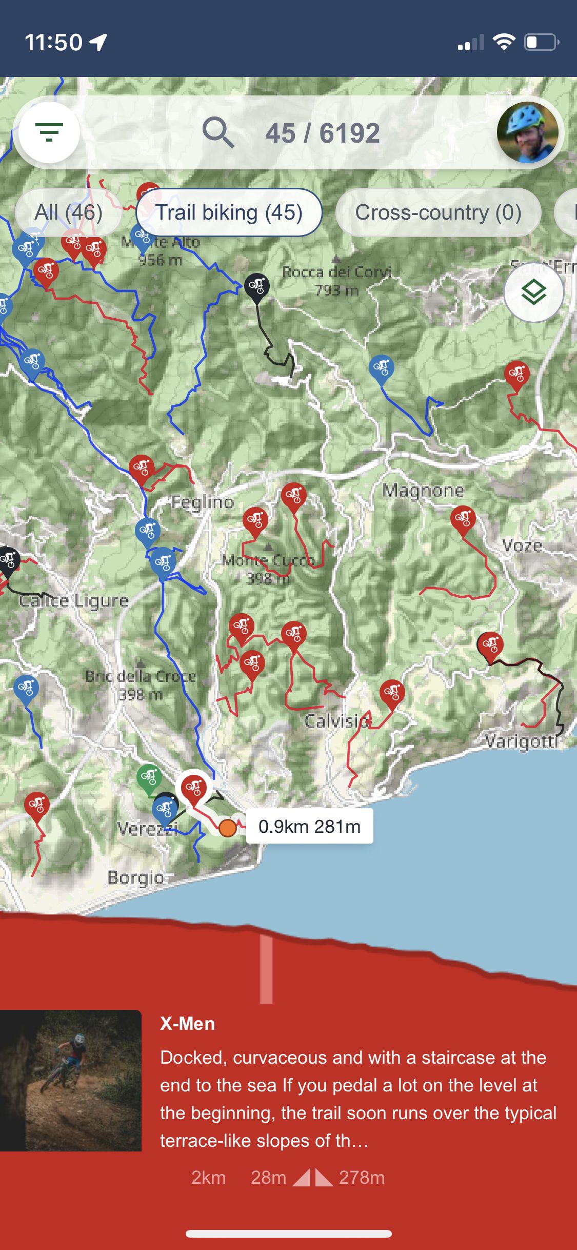
The Trailguide App is focused around the map. Activities are clustered in blue "bubbles" of varying sizes and color depth to indicate the number of activities in the area. You can zoom and move around the map. You can click on the blue bubbles to zoom in to that specific area. Click on a track to show information about it at the bottom of the screen. Clicking on the bottom information bar will open the full trail page.



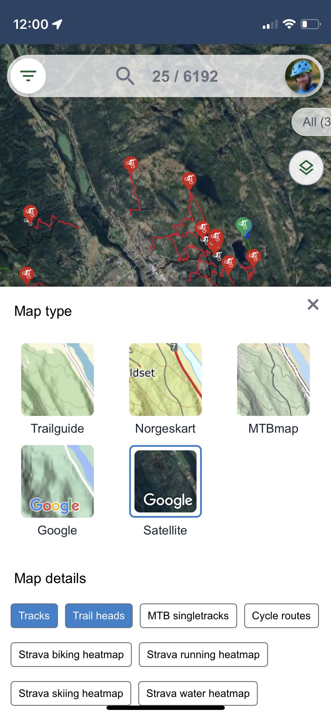
You can select your base map layer and map overlays by clicking the map-selector button at the right edge of the screen. For the base layer you can select the standard Trailguide map, Norgeskart, MTBmap, Google maps, and Google satellite images.



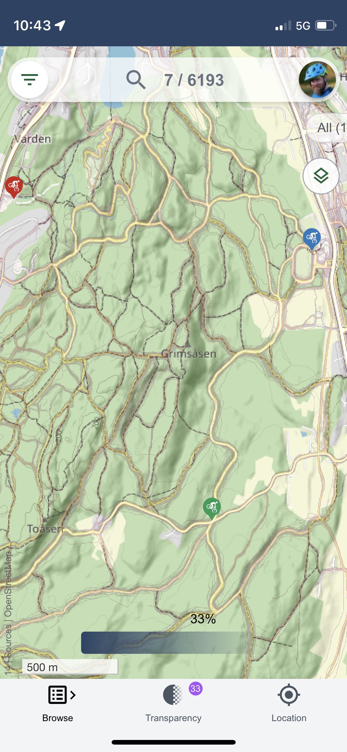
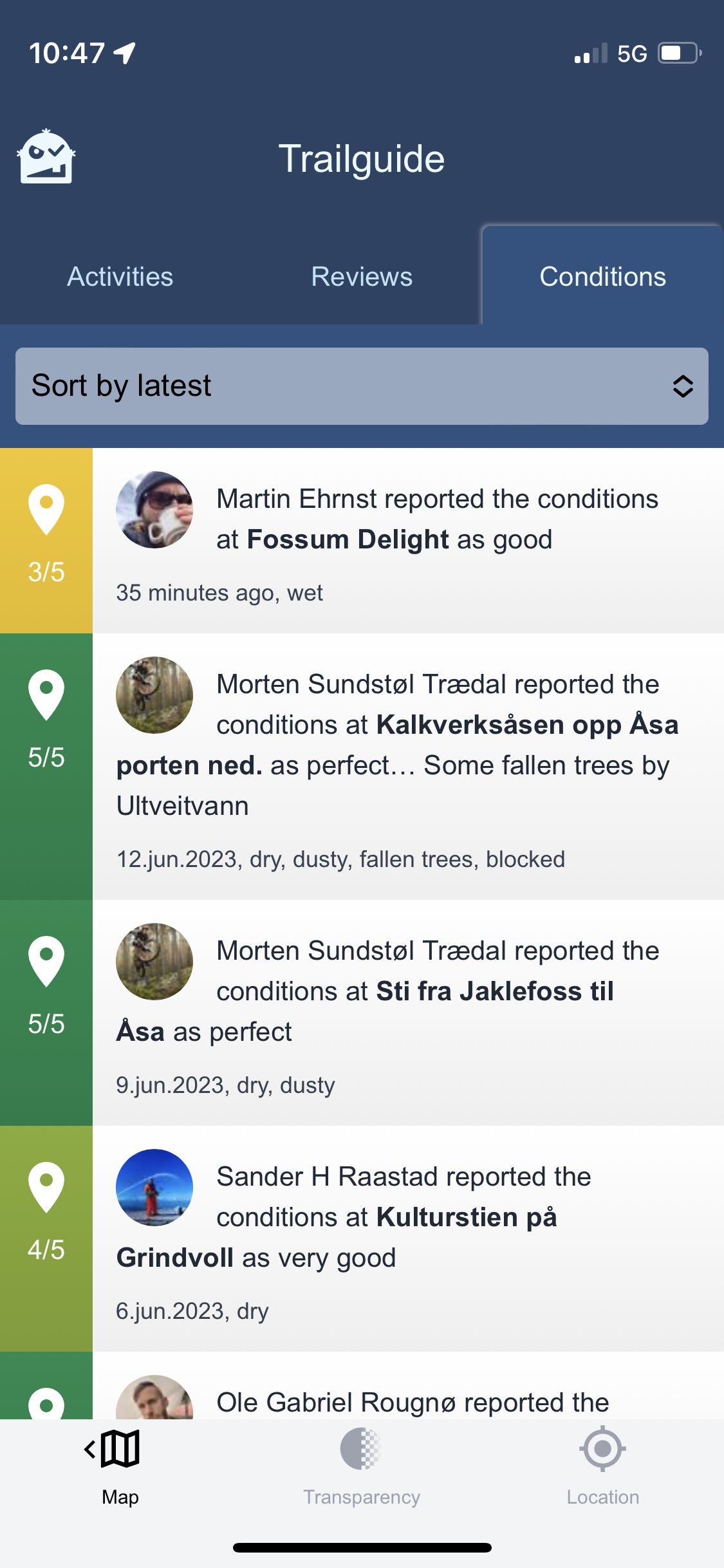
Browse the content from the current map selection by clicking the icon on the left edge of the screen. The list enables you to see activities from the current map section, reviews, and condition reports. Clicking on an entry in the list will open the activity page.


For trails and tours on Trailguide you will find a description, a map, a height profile, images, a video, reviews, and condition reports. You will also find information about other nearby trails and detailed data such as vertical gain, and track length. You can also download the GPS-track if you want to transfer it to your favorite GPS device.


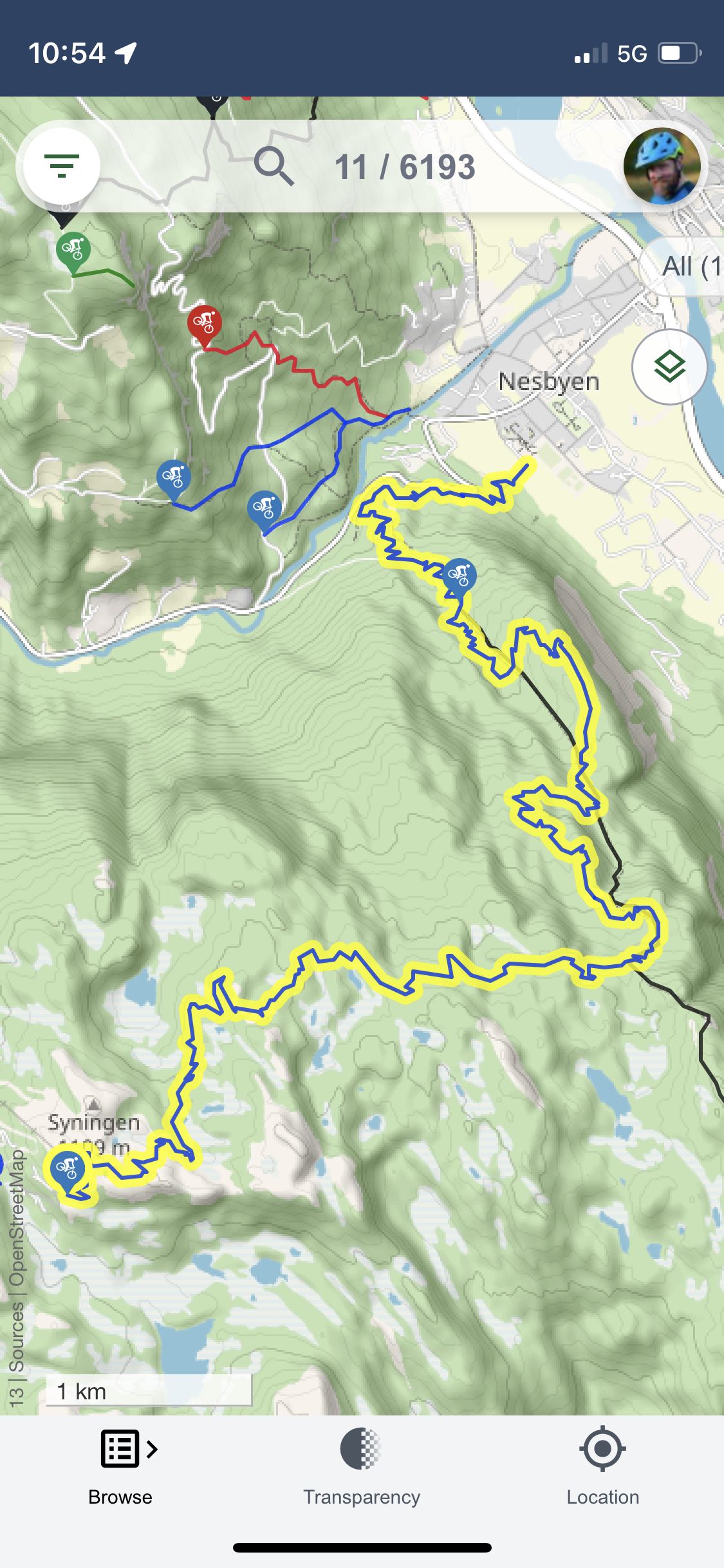
Use the search field to search for trails, places, and users. The numbers in the search field shows you the number of trails within the map section and the total number in total.


See all the activities, reviews, and condition reports added by a single user on Trailguide.


