Activity page
Open the activity page
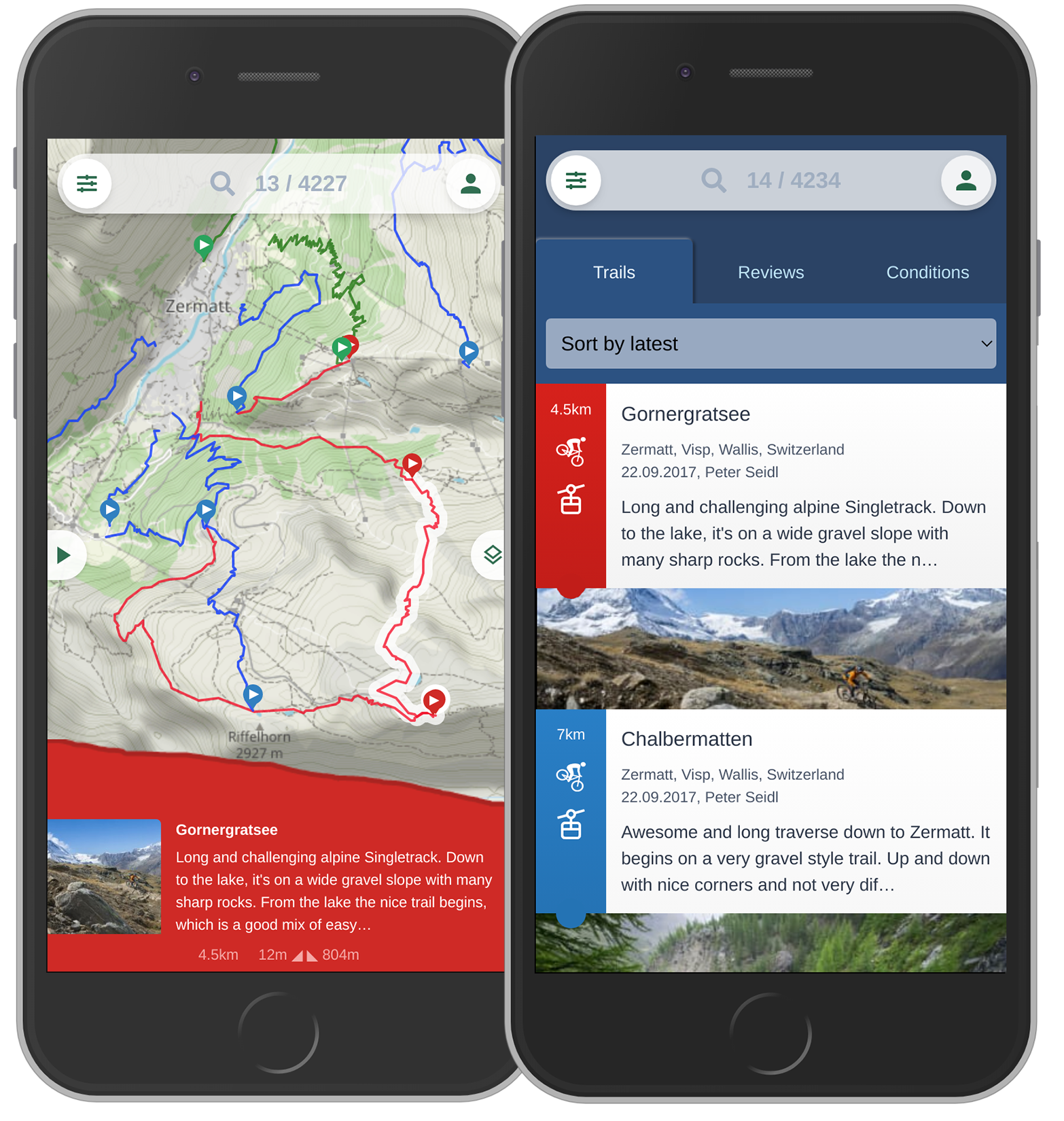
When you are in the list, click on an activity to open the page. On the map, click on a track, then again on the info bar that opens up.
Main information
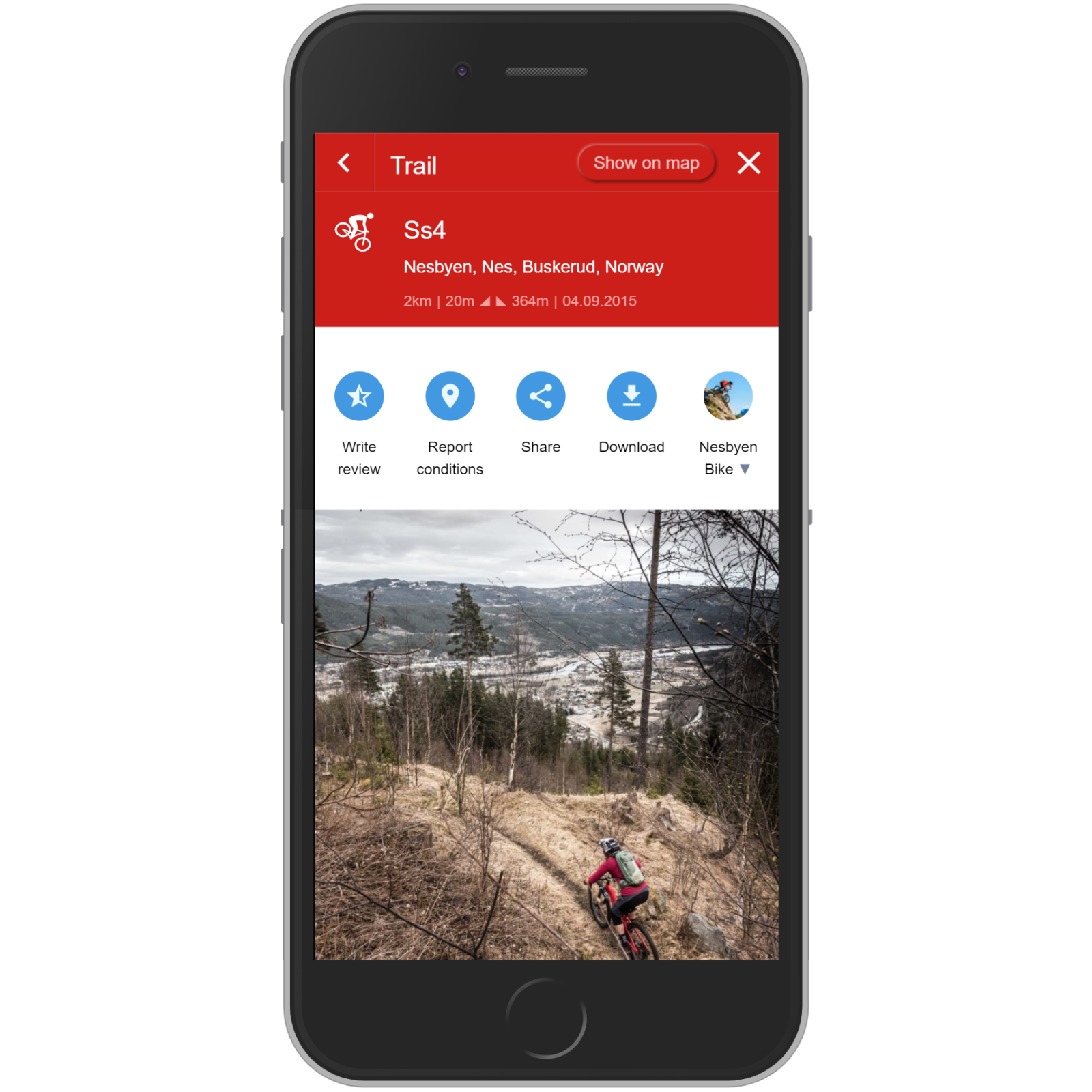
At the top of the activitypage you see the navigation to go back to the screen before or to close the window. Click on "Show on map" to see this activity on the map.
Below you see the icon of the activity type - "MTB singletrack" in this case. Next to it the name, location, upload date and user. Also important information like length, total ascend and descend.
Below the blue action buttons you find the pictures. Swipe left or right to see more pictures.
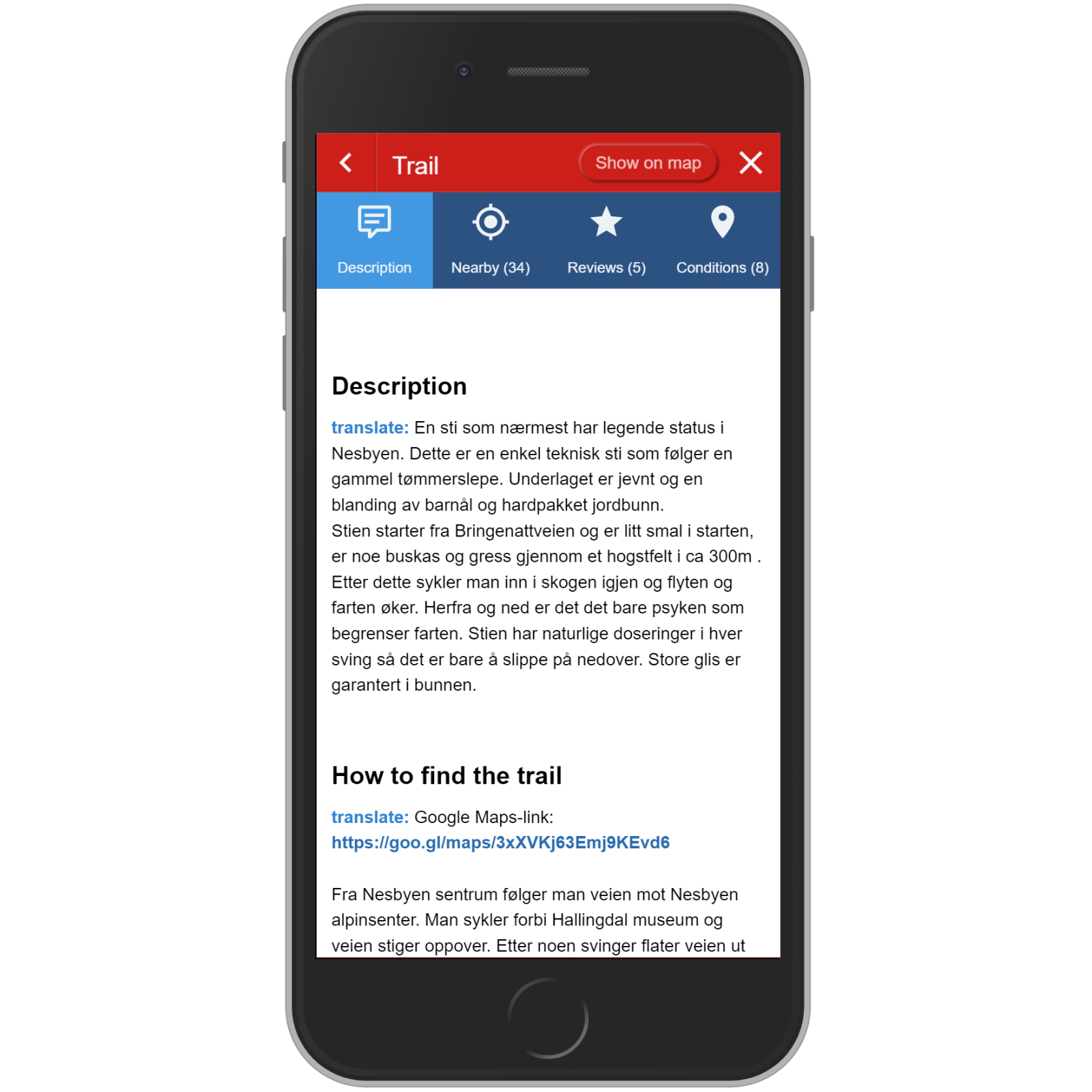
Description
The text is shown in in its original language. Click on "translate" and select your language for translation.
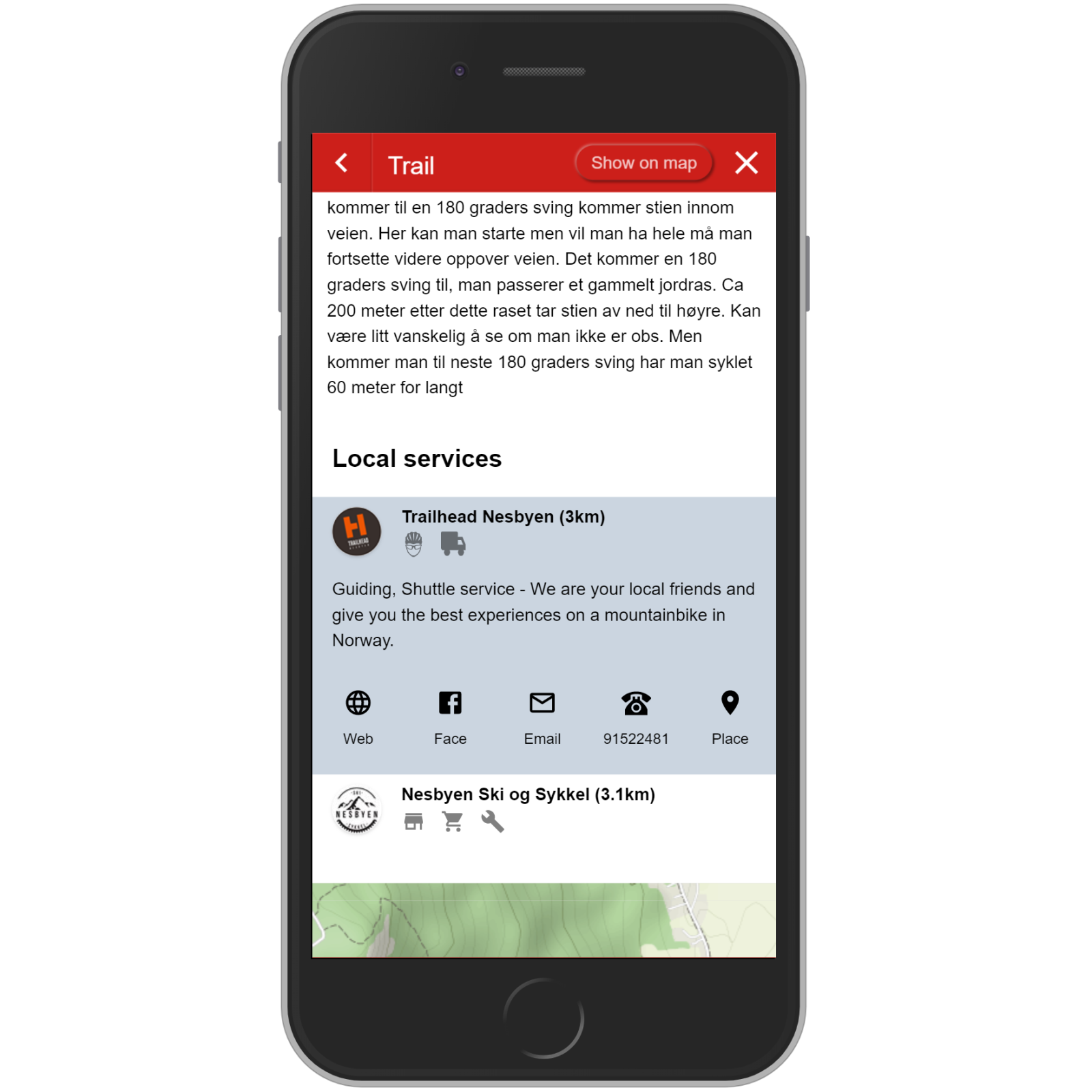
Local services
Nearby local services like sport shops, guide or shuttle companies, accomodations, cafés or restaurants might be listed if available. Click on one for more detailed information
If you have a local service and would like to be visible on Trailguide, please contact us.
Map
The map shows the track of the activity. It is locked by default to prevent it from moving when you scroll over.
Pinching the map with two fingers enables you to zoom or move it.
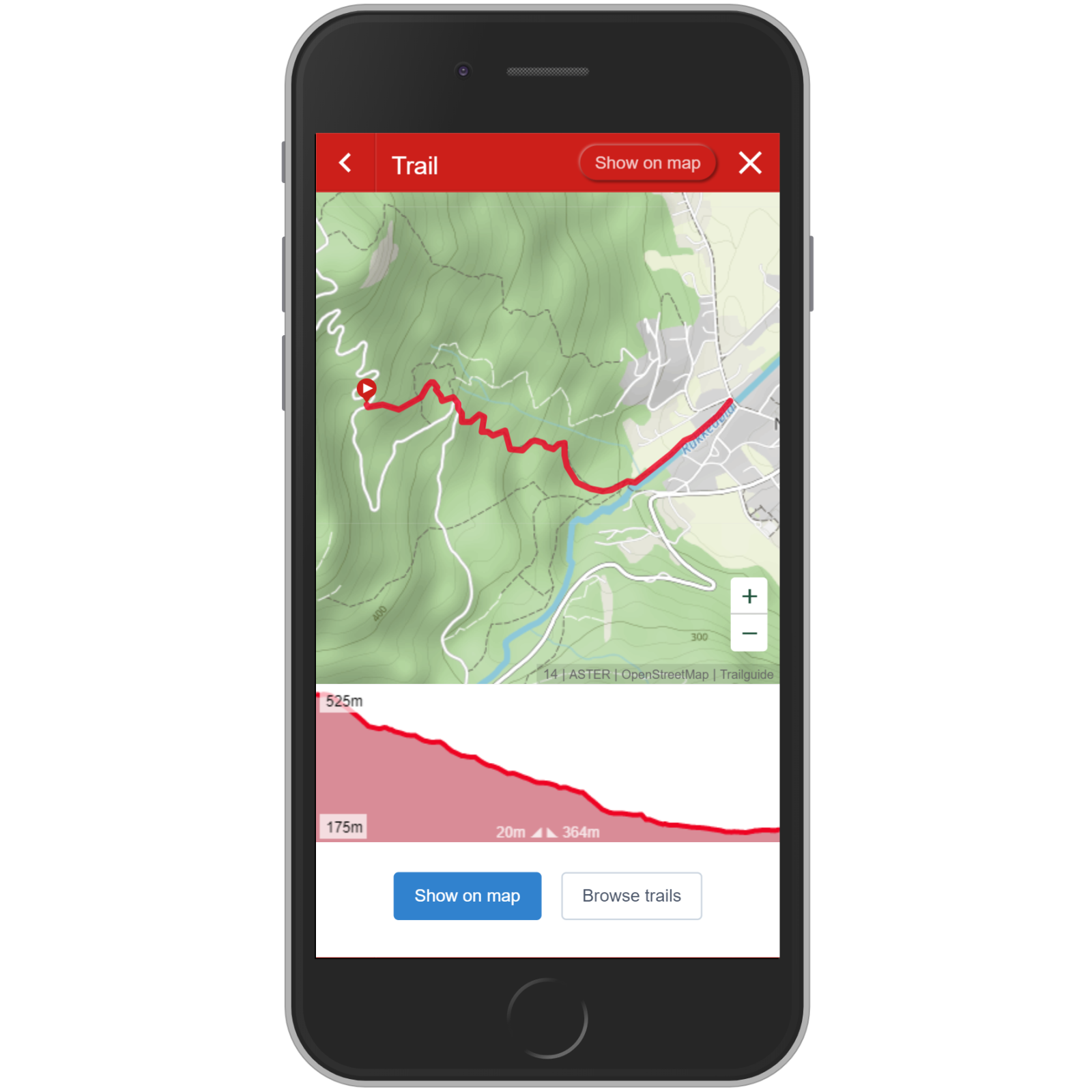
Below the map is the height profile of the trail. The labels to the left indicates the maximum and minimum altitude, while the labels at the bottom indicates the ascent and descent.
Move your finger back and forth on the height profile to see this location and data on the track in the map.
← FilterTabs →